About Michigan
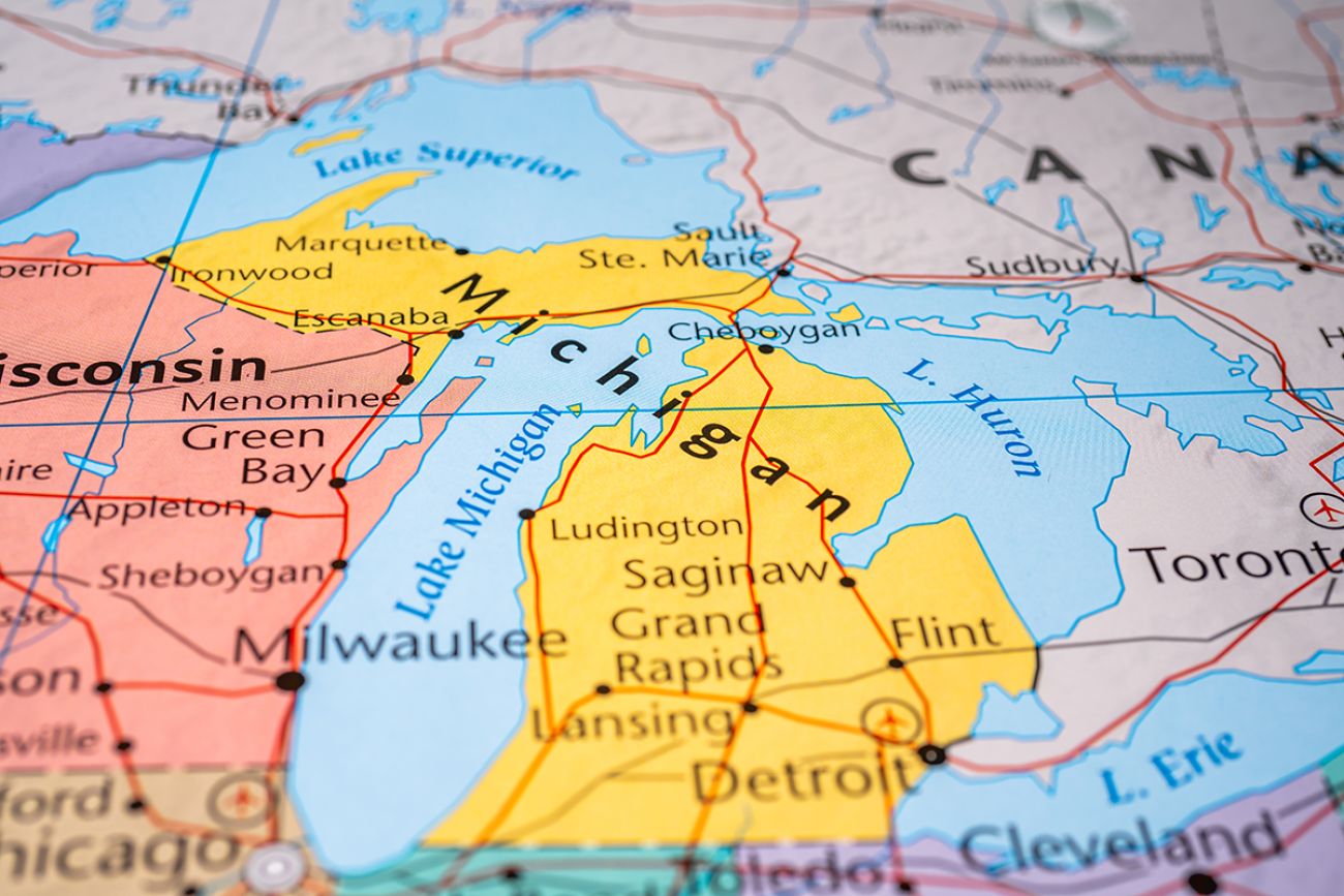
Michigan is a Midwestern state in the Great Lakes region, sharing borders with Wisconsin, Indiana, and Ohio. Unique for its two peninsulas—the Lower Peninsula, resembling a mitten, and the Upper Peninsula, separated by the Straits of Mackinac—the state is surrounded by four Great Lakes: Superior, Michigan, Huron, and Erie, giving it the longest freshwater coastline in the U.S. With a population of about 10 million, Detroit is its largest city, while Lansing serves as the capital.
The state's rich history includes Native American tribes such as the Ojibwe, Ottawa, and Potawatomi, who inhabited the region before the European explorers arrived. The French claimed it in the 17th century and later passed under British control. Michigan became the 26th state in 1837.
Learn more about Michigan on the official tourism website of Michigan.
>Top 10 Notable Landmarks in Michigan:
- Mackinac Bridge
- Sleeping Bear Dunes National Lakeshore
- Pictured Rocks National Lakeshore
- Detroit Institute of Arts
- Henry Ford Museum of American Innovation
- Frederik Meijer Gardens & Sculpture Park
- Mackinac Island
- The Upper Peninsula and Tahquamenon Falls
- Michigan State Capitol (Lansing)
- Belle Isle Park (Detroit)
Michigan's Key Facts
| Population | 10,077,331 | 2020 Census |
| Capital | Lansing | Incorporated 1859 |
| Area | 56,591 sq mi land | 40,097 sq mi water |